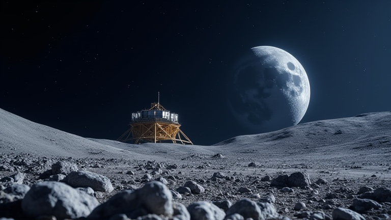
TL;DR: NASA cannot safely build a permanent lunar base without a dedicated navigation and timing network, because current Earth-based GPS signals are too weak and imprecise at the Moon’s distance. The agency is therefore fast-tracking the Lunar Communication Relay and Navigation System (LCRNS), a constellation of small satellites that will provide centimeter-level positioning—essential for autonomous landings, rover convoys, and orbital docking near the south pole.
The Navigation Gap at 384,400 km
Earth’s GPS satellites broadcast at roughly 50 watts, but by the time those signals reach the Moon, they are about 1,000 times weaker than a standard Wi-Fi router signal. Even with high-gain antennas on lunar landers, terrestrial GPS yields position errors of up to 200 meters—far too coarse for pinpoint touchdown next to a pre-placed habitat or for two rovers to meet within a meter. Worse, the Moon’s terrain blocks line-of-sight, and the 1.3-second round-trip delay makes real-time corrections impossible.
If you want to dig deeper, check out our guide on LA County Lost 165/Day for 5 Years: We Project 100 Years of .
LCRNS: The Specs Behind the Solution
NASA’s LCRNS program is currently in Phase B design, with a target launch of four to six small satellites into elliptical lunar orbits by 2028. Each satellite will carry a compact atomic clock (rubidium standard, stability of 10⁻¹³ over 1,000 seconds), a Ka-band transceiver for high-bandwidth data, and a software-defined radio for signal generation. The system will broadcast a custom L-band signal compatible with modern GNSS receivers, but with a lunar-specific almanac. Expected performance: horizontal accuracy of 10 cm and vertical accuracy of 15 cm, with time synchronization to within 2 nanoseconds—enough for autonomous hazard avoidance and synchronized robotic assembly.
Industry Impact: A New Space Economy
Private firms like Blue Origin, Astrobotic, and Firefly Aerospace are already designing receivers to LCRNS standards, because the same signal can be used for orbital cislunar traffic management. This creates a lucrative market for lunar-graded chipsets, ground simulators, and even third-party augmentation satellites. Moreover, the system will enable “precise relative positioning” for in-orbit fuel depots and lunar rail concepts, reducing the risk premium on multi-billion-dollar base construction. Without LCRNS, every landing becomes a bespoke, high-risk event; with it, NASA can certify repeatable, safe operations—the true prerequisite for a permanent outpost.
FAQ
Q: Why can’t we just use existing GPS satellites with a bigger antenna on the Moon?
A: Even a 3-meter dish captures only a few photons per second from Earth’s GPS constellation, yielding ~200 m error. Atmospheric correction models also fail in vacuum, and the geometry of visible satellites is poor from the lunar poles, causing frequent signal dropouts.
Q: Will LCRNS replace Earth-based Deep Space Network (DSN) for communication?
A: No. DSN remains for deep-space science and emergency telemetry, but LCRNS provides low-latency, high-bandwidth local relay (up to 500 Mbps) between surface assets and lunar orbit, freeing DSN for Mars and asteroid missions.
Q: What happens if a satellite fails mid-construction?
A: LCRNS is designed with redundancy—each satellite can serve as a backup time source, and the constellation can operate with a minimum of three functional units. NASA also plans for one spare in lunar storage, allowing on-site replacement via robotic servicer by 2030.
Leave a Reply